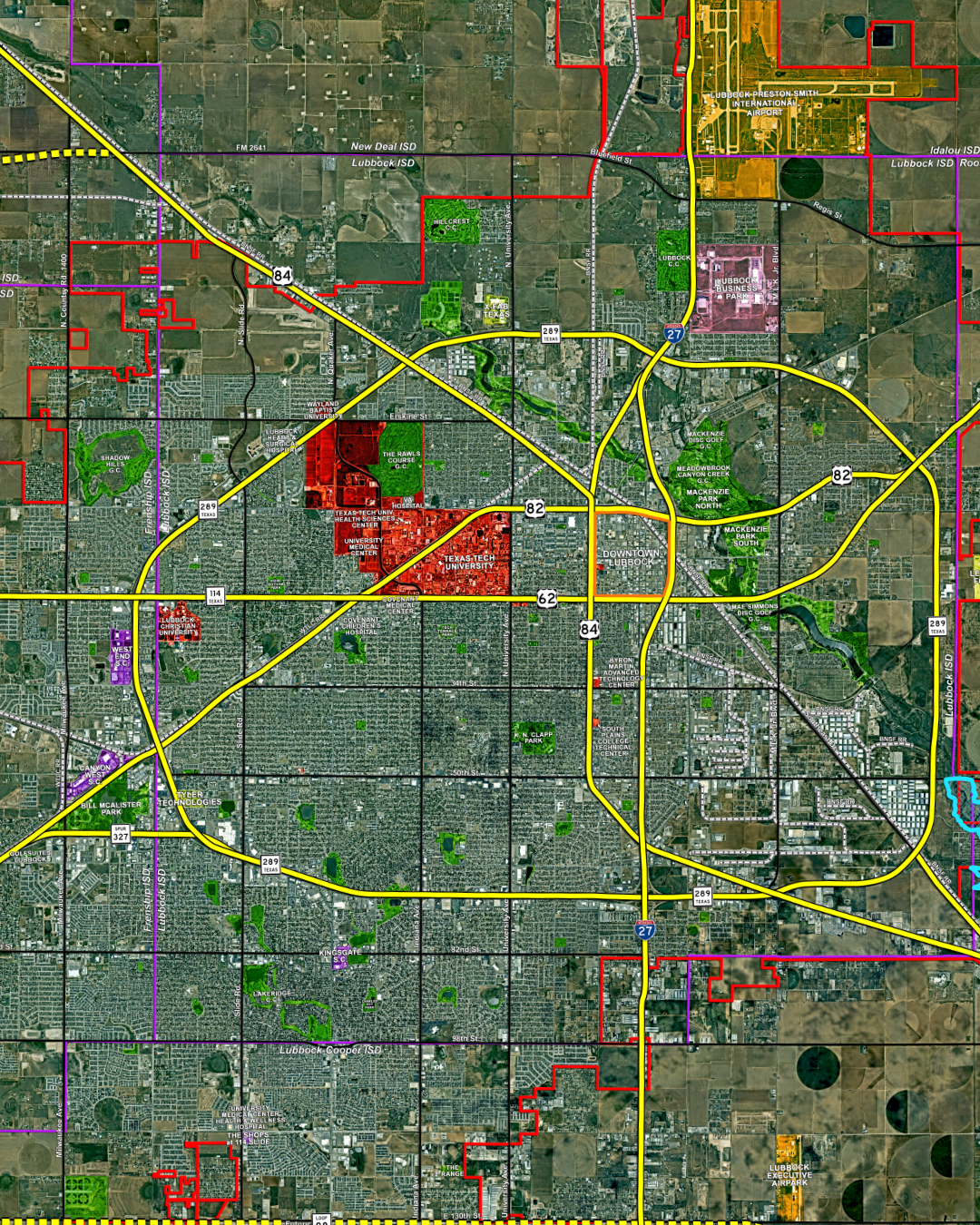
Lubbock map
Lubbock Map
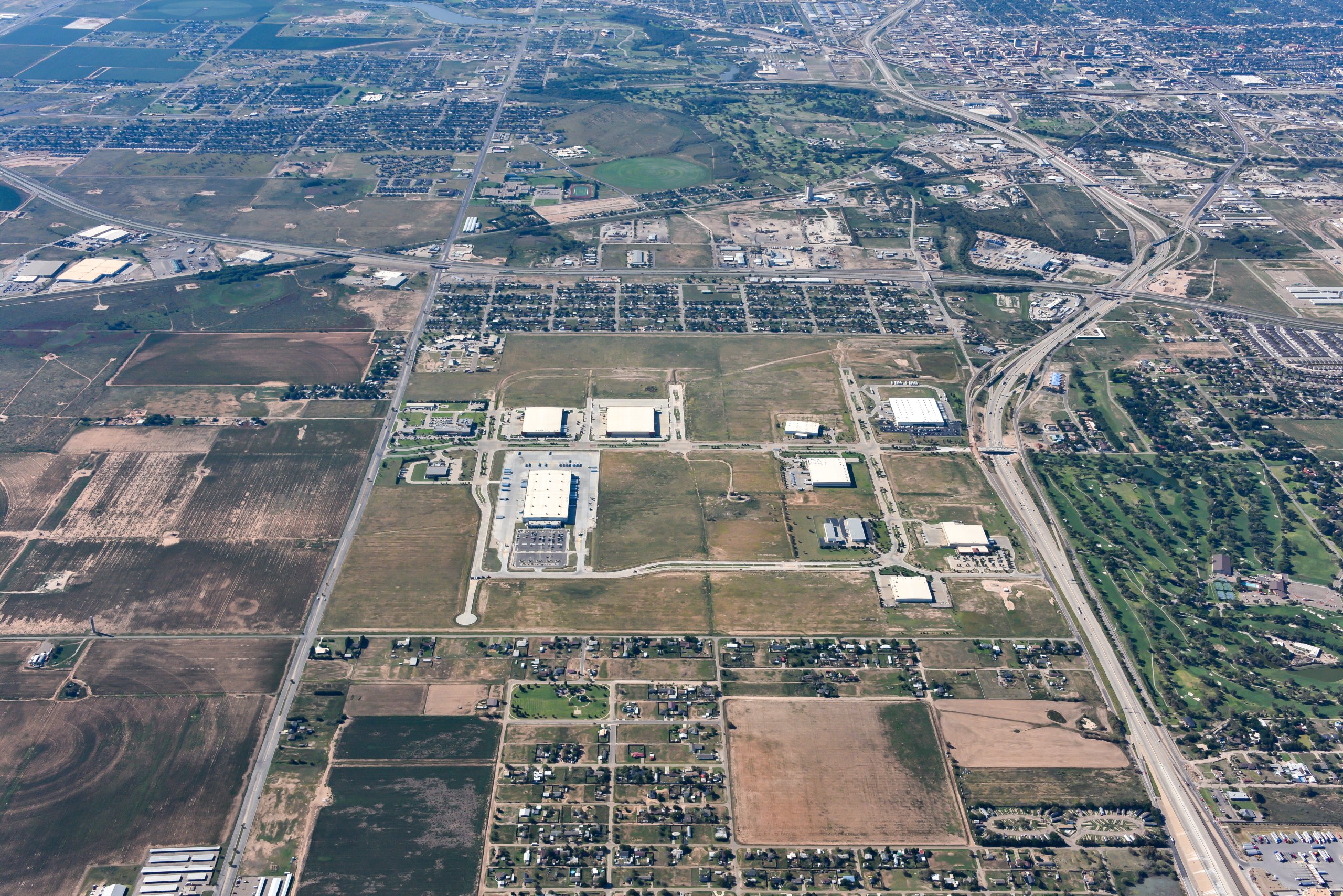
Our Lubbock community map provides a comprehensive overview of the region, highlighting major landed development projects, school district boundaries, business parks, lakes, and key transportation corridors, including Interstate 27, Loop 289, the Marsha Sharp Freeway, and the future Loop 88. Designed as a valuable resource for businesses, investors, site selectors, and community stakeholders, this map offers a convenient snapshot of the infrastructure, development opportunities, and assets that support Lubbock’s continued growth. Click the image below to download the map file. For information on obtaining a 47″ × 42″ foamboard print, please contact Andy Russell at arussell@slategroup.com or Angella Jordan at ajordan@slategroup.com.
-

Orlando’s Celebrates 60 Years of Italian Tradition in Lubbock
Read more: Orlando’s Celebrates 60 Years of Italian Tradition in Lubbock -

Driving Momentum: Manufacturing in Lubbock
Read more: Driving Momentum: Manufacturing in Lubbock -

Quality of life is unmatched in Lubbock, Texas
Read more: Quality of life is unmatched in Lubbock, Texas -

Brewing Success in West Texas: Day Break Coffee Roasters Grows from Lubbock to the Region
Read more: Brewing Success in West Texas: Day Break Coffee Roasters Grows from Lubbock to the Region -

The Infrastructure Advantage: How Lubbock Is Building for the Next 20 Years
Read more: The Infrastructure Advantage: How Lubbock Is Building for the Next 20 Years -
Skilled Trade Institute: Connecting Talent with Opportunity in Lubbock
Read more: Skilled Trade Institute: Connecting Talent with Opportunity in Lubbock